

Coastal flood warning in effect for Duval as northeast winds threaten roads, homes and beaches
A Coastal Flood Warning is in effect for Coastal Duval through Monday evening, with the worst flooding expected around Sunday and Monday morning high tides. The city says low-lying riverfront and coastal areas could see water over roads, strong winds, rough surf and possible power outages.

A Coastal Flood Warning is in effect for Coastal Duval through Monday evening, and the worst flooding is expected around Sunday and Monday morning high tides.
The National Weather Service says strong northeasterly winds will combine with king tides to create moderate to locally major coastal and tidal flooding. The city says this is not a named storm, but the impacts could be similar to those of a tropical storm.
Where flooding could hit
Along the Atlantic Coast and Intracoastal Waterway, water could rise 2.5 to 3.5 feet above normally dry ground.
Farther inland, the city says the St. Johns River and its tributaries could rise 2 to 3 feet in flood-prone spots including San Marco, Riverside, Northbank into Hogans Creek and Ken Knight Drive. At those levels, water can move over coastal and riverfront roads near high tide and reach homes and businesses in low-lying areas.
Beach conditions are also expected to be dangerous, with high surf and a strong rip-current risk.
How the city is preparing
The Duval County Emergency Operations Center will move to partial activation Saturday evening, and JFRD is positioning swiftwater rescue and emergency road-access teams.
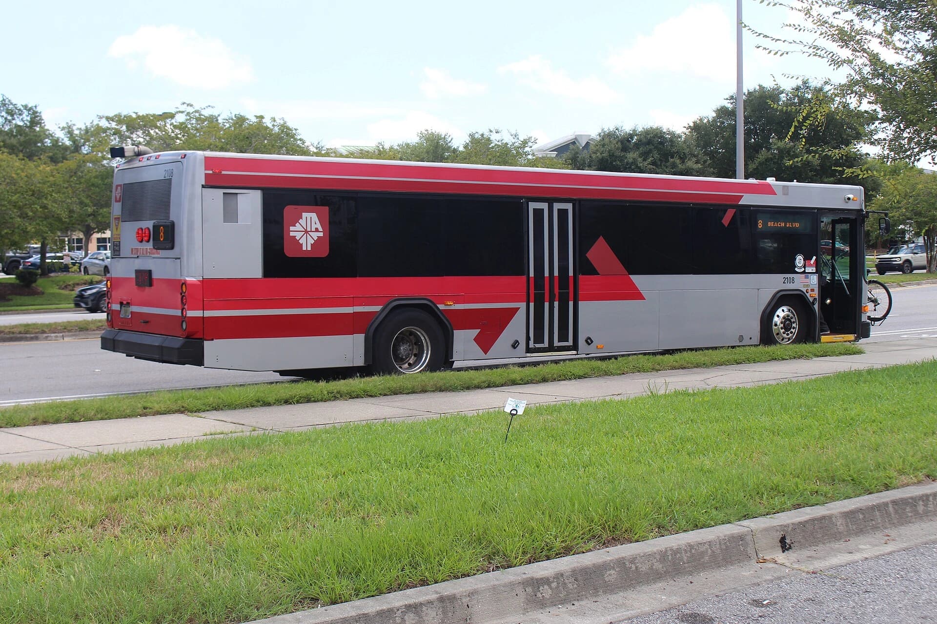
JTA says it is monitoring conditions and will share any service changes, while the Sheriff’s Office says it will have extra officers and resources and may set up detours around flooded streets if needed.
The city also warns that coastal winds could gust to 45 mph and bring down trees and limbs, causing outages. Marine waters are under a Gale Watch through Monday, with seas of 10 to 16 feet offshore.
What residents should do now
If you live in a low-lying area, move vulnerable items to higher ground before high tide and bring in or secure outdoor items such as patio furniture and trash cans.
Avoid flooded roads, and do not walk, swim or drive through water. The city says six inches of moving water can knock a person down, and 12 inches can sweep a vehicle away.
If you want weather alerts, sign up for ALERTJAX messages before conditions worsen.
What do you think?
Share your perspective with your neighbors.
Free to join. Your draft stays here while you sign in.
Be the first to share your thoughts.